(Apologies to John Ford, Henry Fonda, and Claudette Colbert for another bad pun.)
My tent remained intact and my gear remained dry during the apparently serious storm that swept through Rome yesterday afternoon. I say “apparently,” because I was indoors at the time, sitting in a pew in Zion Episcopal church, typing my blog post while my phone recharged.
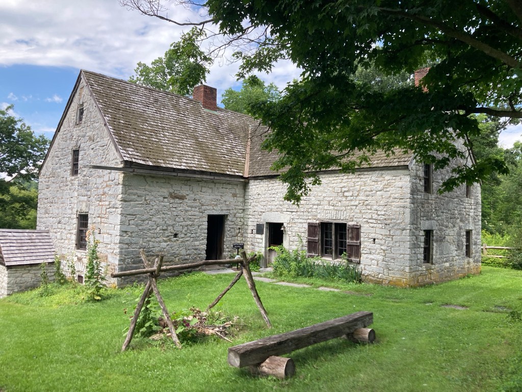
Today’s ride, from Rome to Canajoharie, would be the second longest ride of the trip, just over 61 miles. I planned on making at least one detour, to visit a couple of historic sites in St. Johnsville, so I figured that I’d clock in at 64 or 65 miles. The distance didn’t bother me, but two other things did.
First, breakfast would be offsite, about a half-mile from camp, so the finely tuned morning routine that I had developed for the past four days was shot to hell. Never, never mess with an old man’s morning rituals.
Second, upon arrival in Canajoharie, there is a legendary ascent—the “Canajoharie Climb”—to get to the campgrounds at the high school. It was not an exaggeration. First, you ride 62 miles. Then, from a standing start at a stop sign, the first half of the climb wasn’t too bad… but then you turn to the right, and have a longer, steeper climb. Ride With GPS pegged it at 230 feet of elevation in 0.9 mile, with a 5.2% grade. Plenty of people walked it. I did not: I felt rideworthy.
Today’s route marked our entry into the Mohawk River valley. I would be remiss if I did not say a few words about the unique geography of this region (although I may need an assist from my great college buddy and brother-from-another-mother Doug Kennedy to make sure I get it right). A little more than 13,000 years ago—or a week ago last Tuesday for any Flat-Earthers out there—when the Laurentian Glacier retreated, the water scoured a channel across the Appalachian mountains. Everywhere else in the Appalachians north of Alabama, water flows down from either side of the divide. The Mohawk Valley is the only place between Alabama and Maine where water flows through. If you wanted to build a canal connecting the Hudson River (and NYC) with the Great Lakes (and midwestern commodities), the Mohawk Valley is the place. Geology did all the heavy lifting.
Tomorrow: Niskayuna (a suburb of Schenectady). Just two more days of riding remain. (Or a day-and-a-half, really: Sunday’s final ride is less than 30 miles.)