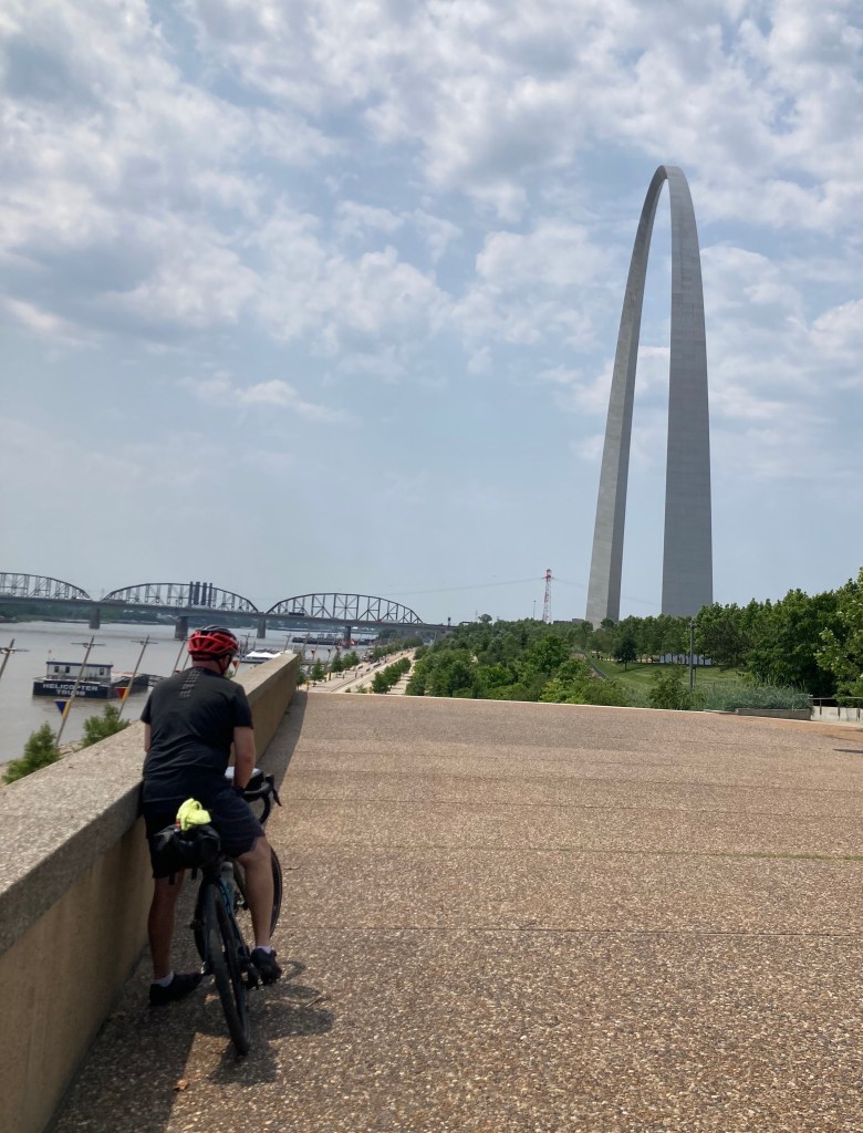
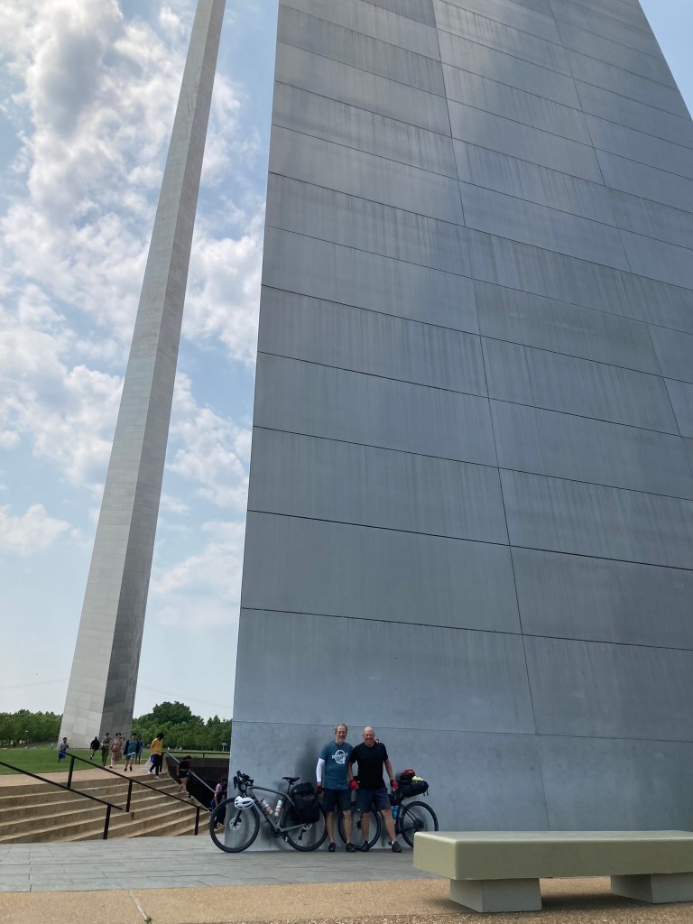
For several years now, I’ve noticed that one of the big programming glitches of Ride With GPS is its inability to distinguish between “S-t” meaning “Street,” and “S-t” meaning “Saint.” So when Jon and I were approaching the Arch, and RWGPS told me to “Turn Left on Street Louis Avenue,” I had to smile and shake my head. I mean, really, the coding can’t be that difficult, can it?
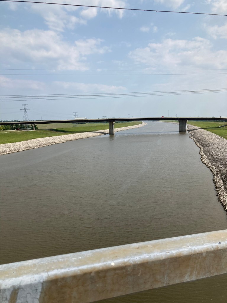
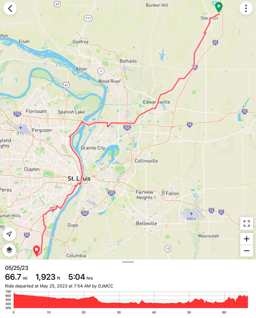
The final day of the first leg was a literal breeze… at our backs. Much of the route was on very well-maintained bike paths, first in Madison County around Edwardsville, and then the Riverfront Trail and Grant’s Trail in STL. The final, post-lunch stretch of the ride probably had more elevation than the prior five days of Prairie State riding, combined, but even that wasn’t so bad.
I was reminded of something that I had written in one of my first posts, about riding on familiar roads and seeing familiar sights from the seat of a bike, not a car. I got that same vibe again, especially the final five miles to my sister’s house. I’ve driven on that stretch of Telegraph Road more than a hundred time in the past decade, and I was noticing things (like hills) that I never paid much attention to before. The day ended with a typically superb dinner from my sister’s kitchen, and typically warm hospitality from Theresa and Mike. Jon even got to test some new club heads and hit a few golf balls.
All in all, the day—and the week—were a win. Full post-mortem to follow in a day or two, after it all sinks in a bit more.